")


Road infrastructure
Geographic location of the City of Prnjavor ensures shorter time of transport of goods to investors with lower costs of transport.
The City of Prnjavor is situated in the north-west part of the Republika Srpska and Bosnia and Herzegovina at approximately 50 km from the border with the Republic of Croatia / European Union.
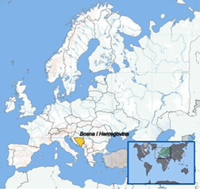
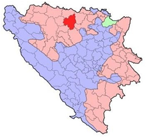
The City of Prnjavor is situated in the far east of the Banja Luka region, on the east-west axis (Middle East – Balkans – European Union), and north – south axis (Scandinavian Peninsula – Central Europe – Adriatic Sea).
The City is 55 km away from the international motorway Belgrade (Republic of Serbia) – Zagreb (Republic of Croatia), and 60 km from the future transnational corridor Vc, which will connect central Europe and the Adriatic Sea region.
According to the Classification of border crossings (Official Gazette of BiH, no. 39/12) the nearest international border crossings are the following:
- Bosanska Gradiška – international border crossing of category I in road traffic with Republic of Croatia (transport of passengers, all kinds of goods and means of transport), 60 km distance,
- Bosanski Brod - international border crossing of category II in road traffic with Republic of Croatia (transport of passengers, all kinds of means of transport and all kinds of goods except the goods subject to excise duty), 53 km distance,
- Rača - international border crossing of category I in road traffic with Republic of Serbia (transport of passengers, all kinds of goods and means of transport), 190 km distance,
- Luka Šamac – international border crossing in river traffic (transport of goods and passengers), 100 km distance,
- International border crossings in air traffic (airports): Banja Luka (42 km distance), Tuzla (108 km distance), Sarajevo (198 km distance), Zagreb (197 km distance) and Belgrade (255 km distance).
The City of Prnjavor is connected with the neighbouring municipalities via the network of roads:
- Trunk road Banjaluka - Prnjavor - Derventa (M-16) 43 km long,
- Regional road Čelinac - Prnjavor – Srbac (R-474) 40 km long,
- Regional road Prnjavor – Doboj (R-474), 10 km long,
- In the south part of the city there is Doboj – Banja Luka railway route,
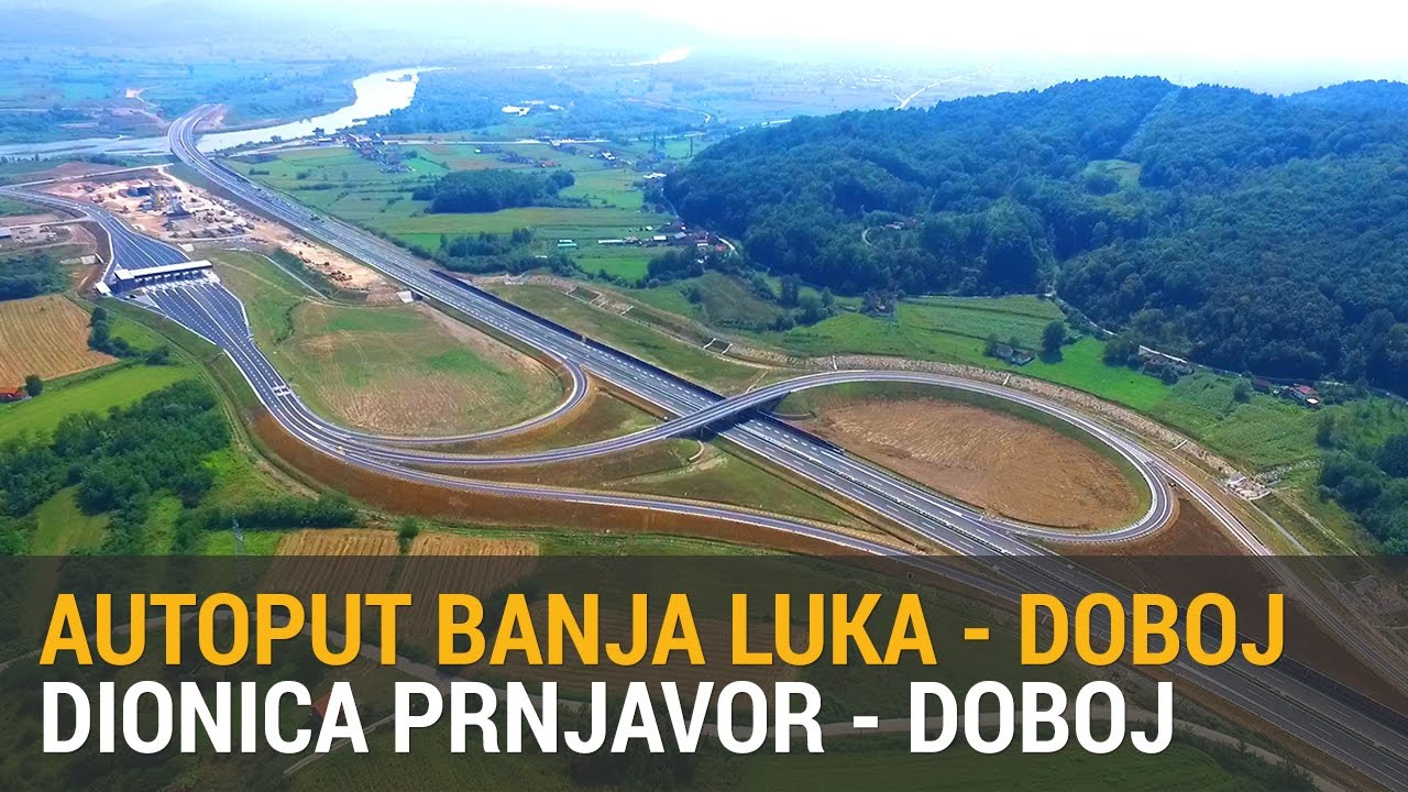
- Banja Luka – Doboj motorway under construction of the total length of 72 km passes in the immediate vicinity of the city in south part of the City of Prnjavor. Currently, Prnjavor-Doboj motorway 36.6 km long is in function.
The City of Prnjavor is intertwined by dense network of local roads of the total length of 546 km (local roads 396 km and uncategorised roads 150 km).
Entrance to Prnjavor - drone record
In early October 2018, section of the Banja Luka – Prnjavor – Doboj motorway was officially open and put into use.
Utility infrastructure and services
Every year, the City of Prnjavor adopts the plan of capital investments, which represents the basis for systematic development of utility infrastructure. Every year, Section for the Development and Entrepreneurship carries out a survey about the satisfaction of traders and entrepreneurs with utility infrastructure and services.
Results of the survey and possible improvements are discussed by traders within the Economic Council of the city, while their proposals get forwarded to competent authorities.
Source: Interkont Komerc d.o.o.